New Study Advises Pilots to Prepare for Turbulence

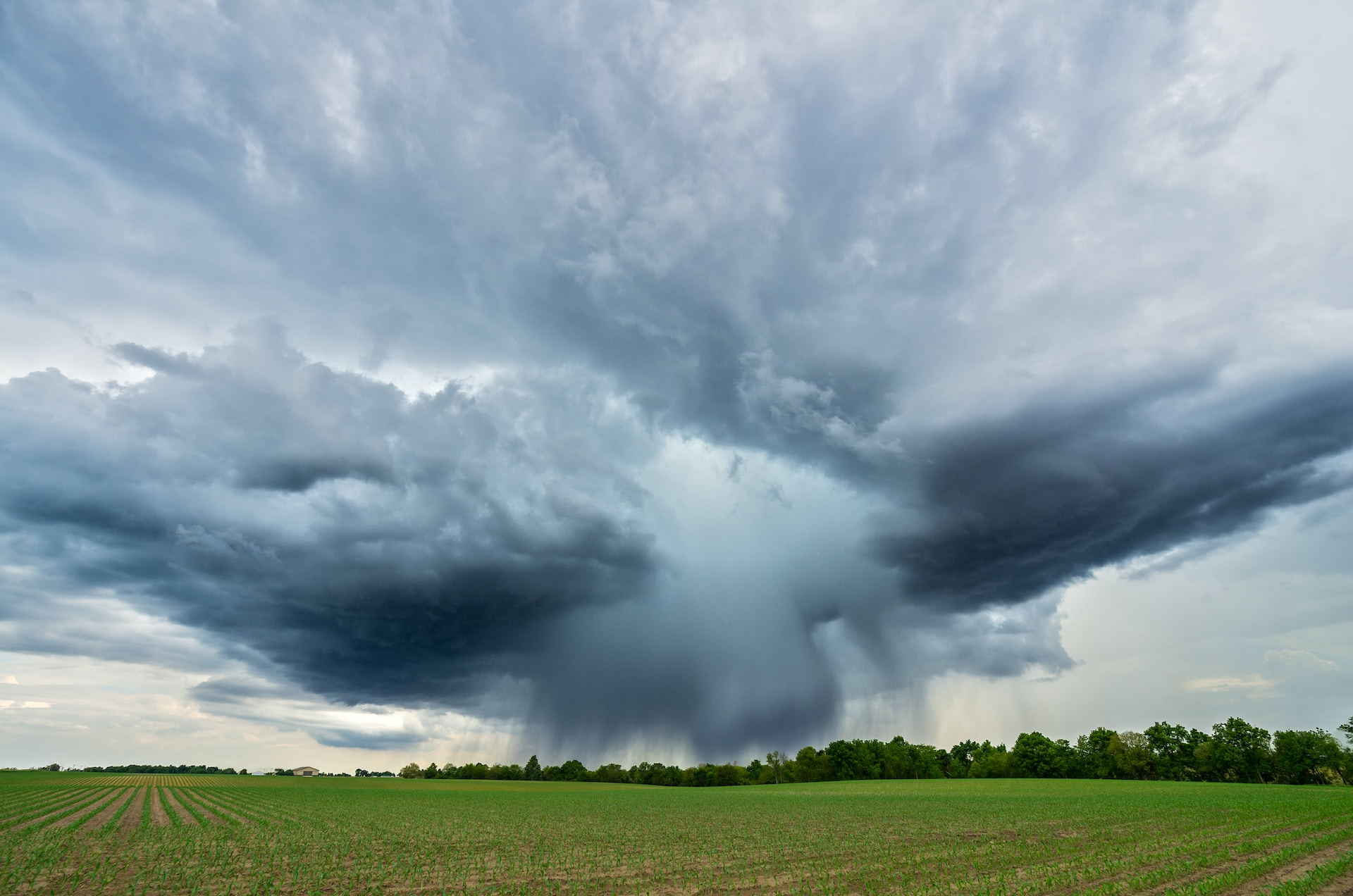
Photo by NOAA on Unsplash
Commercial airline pilots know that turbulence is nothing to fear. While a couple anxious passengers might experience some panic, pilots stay calm in the bumpy skies.
A turbulent ride, however, is still not ideal. No pilot wants their passengers to be uncomfortable throughout the flight, so pilots generally do their best to avoid rough flying.
Unfortunately, a recent joint report by the University of Reading in the United Kingdom and the American Geophysical Union showed that clear air turbulence (CAT) has seen a steady rise over the past 40 years, and the prediction is that more is to come.
For flights over the United States and the North Atlantic ocean, clear air turbulence in 2020 could be measured at a 55% increase compared to 1979, the year satellites began tracking this data. The amount of wind shear has risen by 15% in the jet stream.
Many scientists believe the rise in turbulence is a result of the shifting climate, which is likely caused by human activity. Such human activity includes, coincidentally, the emissions caused by aviation. According to the National Oceanic and Atmospheric Administration (NOAA), global air travel and transport are responsible for 3.5% of emissions driving climate change.
Of course, Americans and the entire world still needs to fly and have goods transported. So the catch-22 is not easy to solve. Fortunately, the aviation industry is making greater strides in advancing the technology for SAF for Sustainable Aviation Fuels.
In the meantime, pilots are advised to use the latest resources available to track turbulent skies. Big Data now allows for weather forecasting to be more precise, and the Graphical Turbulence Guidance tool from the Aviation Weather Center makes this information accessible to pilots.
The GTC data can report to pilots, graphically and with text, the forecasts of turbulence from 1,000 feet above ground level up to 50,000 feet above ground level.
-

Delta Air Lines 04/23/2024
-

United Parcel Service 04/23/2024
-

Hawaiian Airlines 04/22/2024
-

United Airlines 04/22/2024
-

JetBlue Airways 04/19/2024
 AIRLINE PILOT CENTRAL